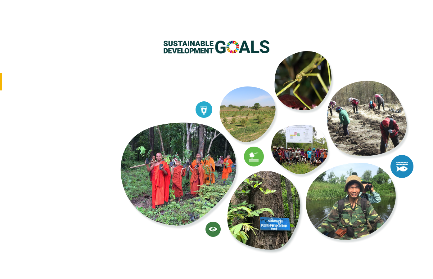
1 July 2014, UN-REDD news - Panama has introduced an interactive national forest-cover and land-use map, which is expected to serve as a useful forest management and planning tool.
The map was developed by Panama's national environmental authority (ANAM) with support from the UN-REDD Programme, FAO, the World Bank and the CBMAP programme.
The map uses 290 high-resolution satellite images to illustrate, with detail and accuracy, forest cover and land use in Panama. The map also has 32 thematic classes of information – double that of the previous map – including forests, forest plantations and agriculture. It also gives users the ability to monitor forest cover over time and in real time. It is hoped that this will assist decision makers to see the impacts of policies on forest and crops.
ANAM experts say the new map shows that while Panama's forest cover has increased from 45 per cent on the 2000 map to between 51 and 52 per cent on the new map, that there are still major deforestation hotspots in the country.
The map is also planned to be used as a measurement, reporting and verification (MRV) tool for Panama's programme to reduce emissions from deforestation and forest degradation (REDD+), enabling the country to report its reduction of forest emissions in a transparent and effective way.
Source:http://www.un-redd.org/Newsletter2014Issue3/PanamaForestCoverMaps/tabid/133457/Default.aspx